DESIGN & ANALYSIS
Digital Survey
Accurate digital site surveys to support design and planning.
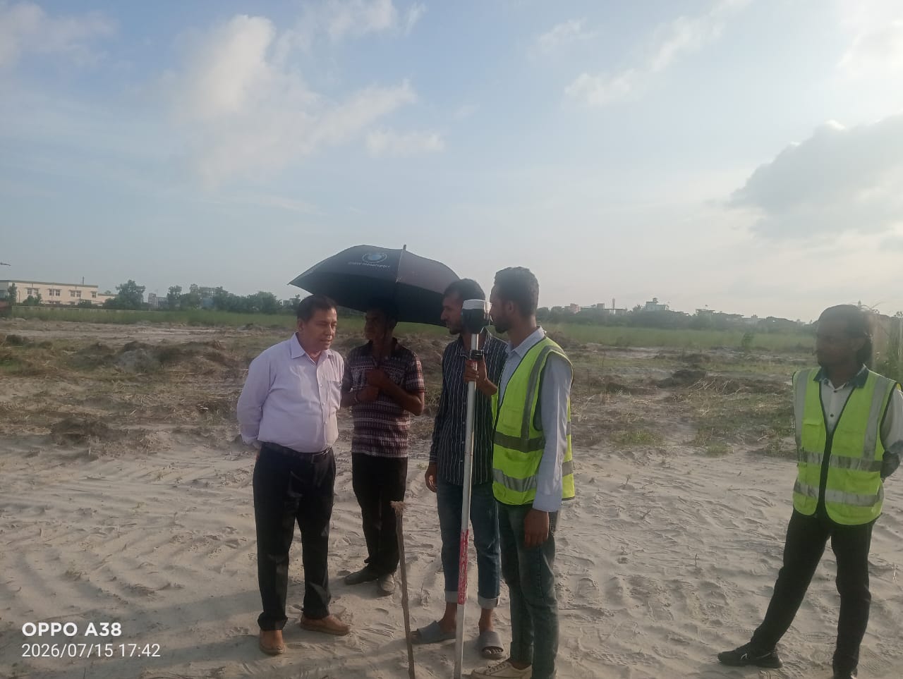
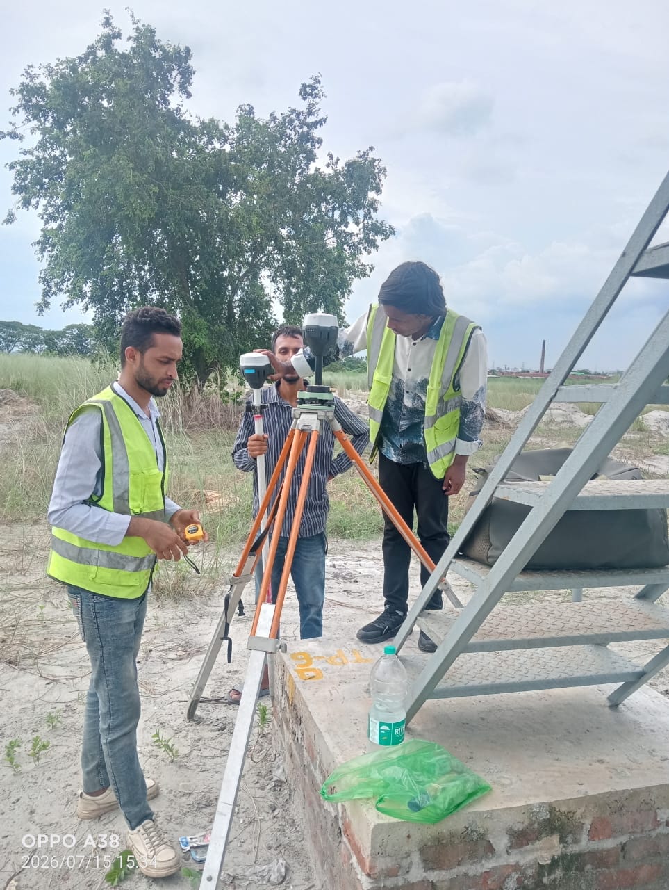
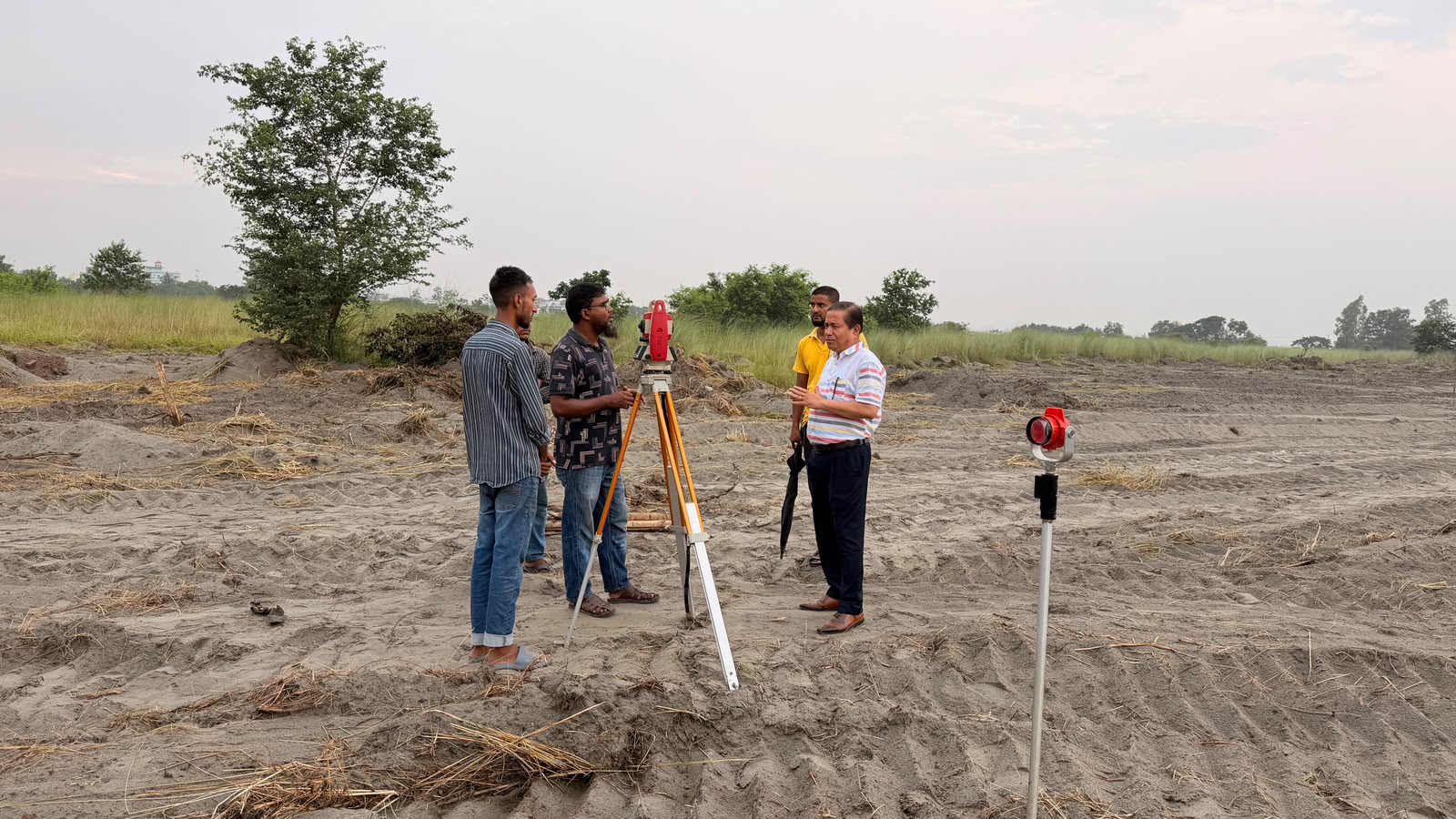
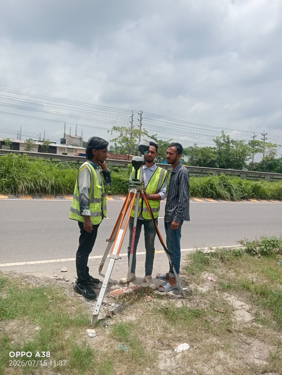
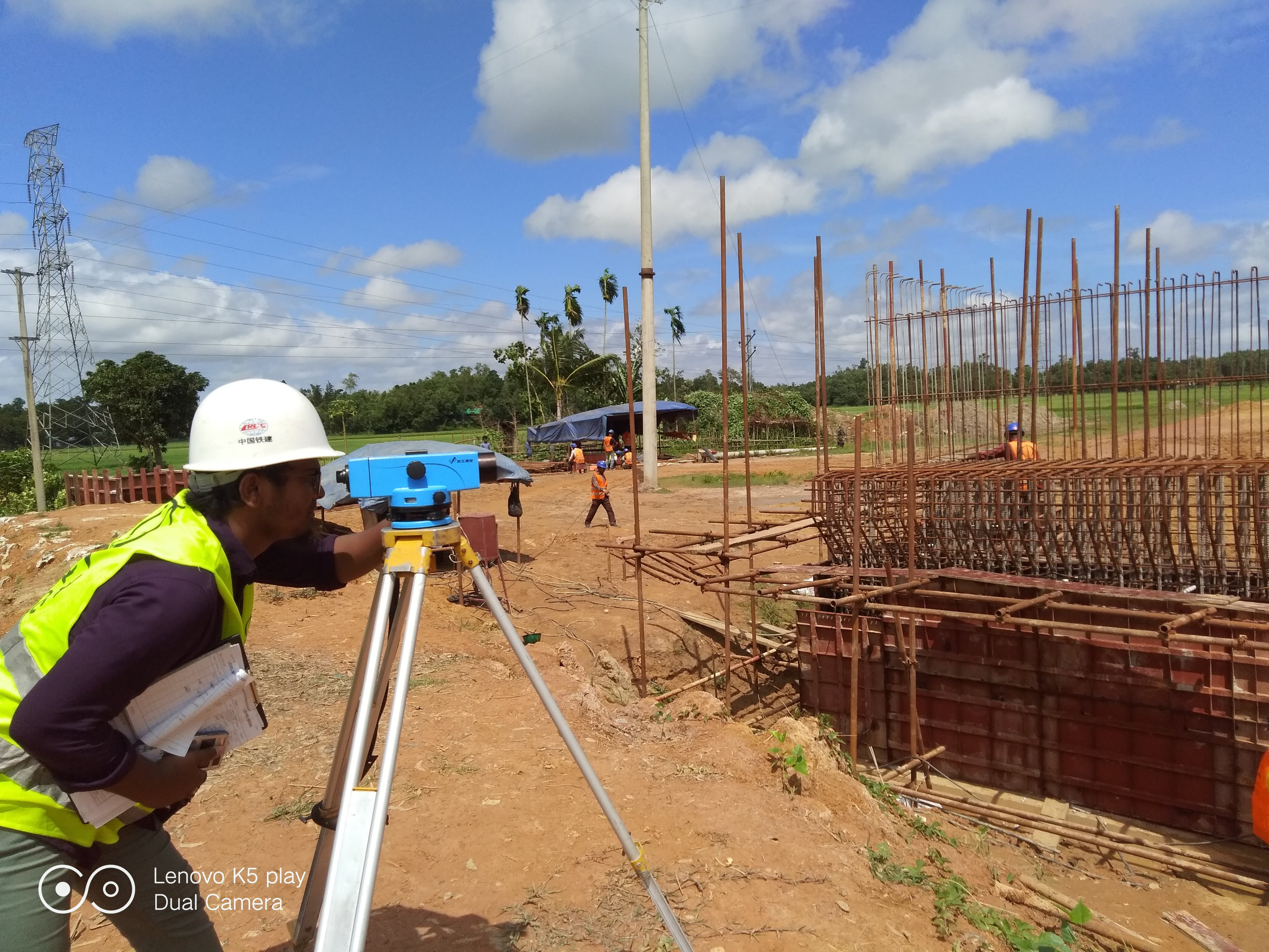
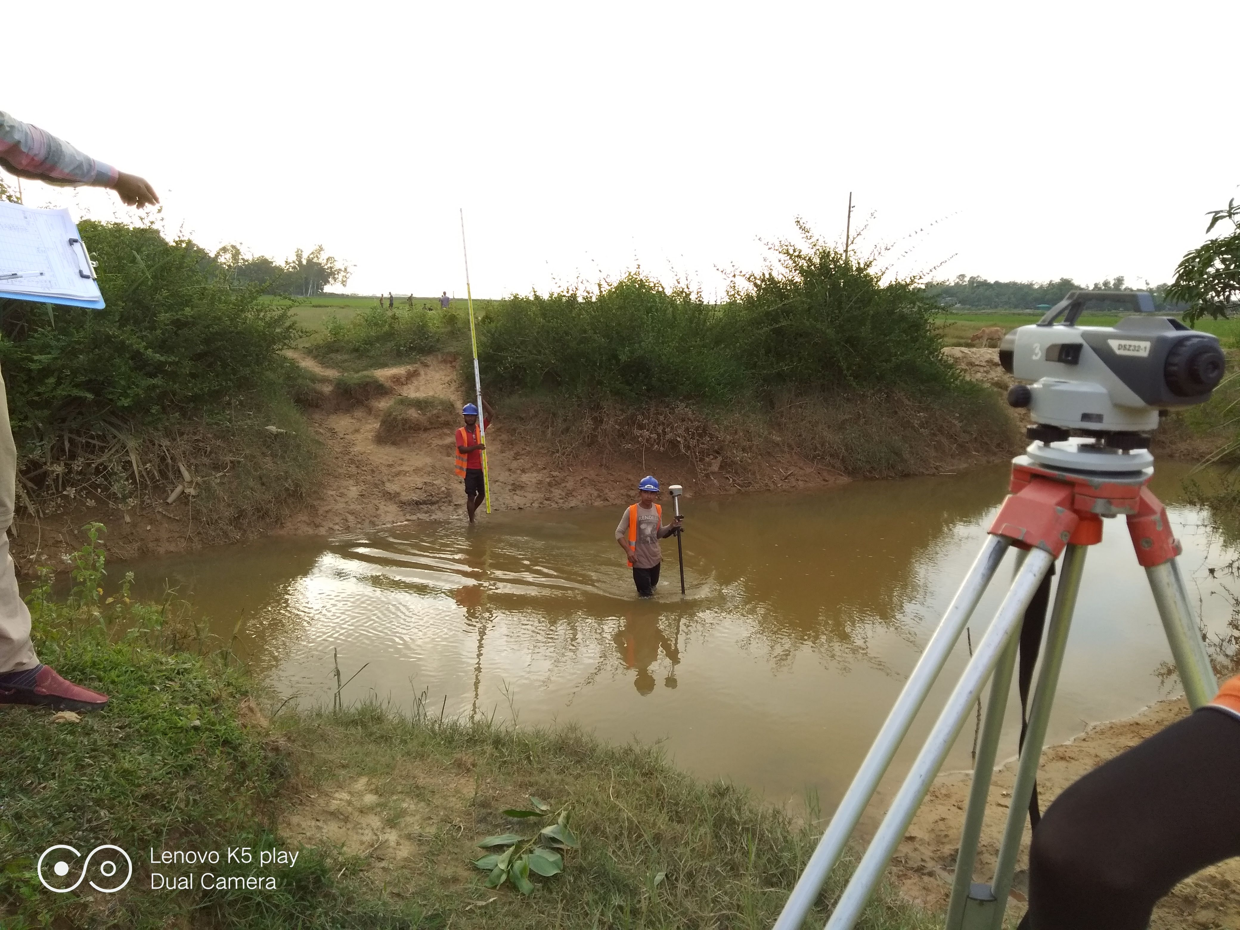
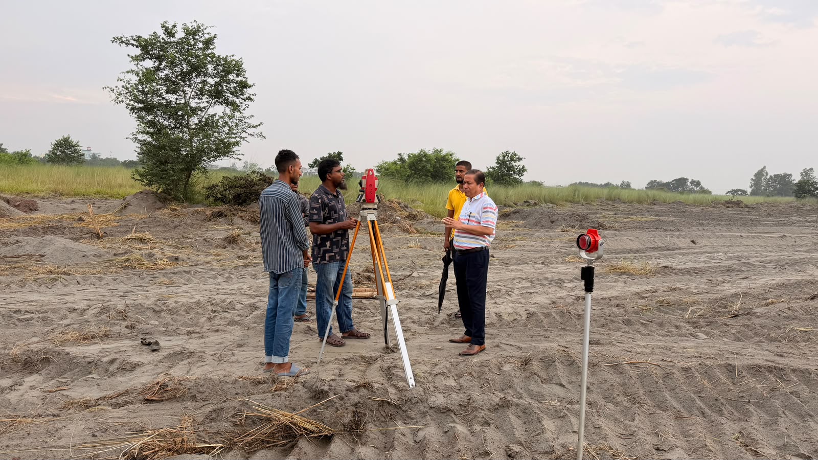
Precise digital land and topographic surveys are carried out using modern total station and GPS-based instruments, and accurate contour maps and site data are generated. This data is used as the foundation for reliable design and planning, ensuring every project is initiated with dependable, field-verified geospatial information.
Highlights
- Design & Analysis
Service Gallery